
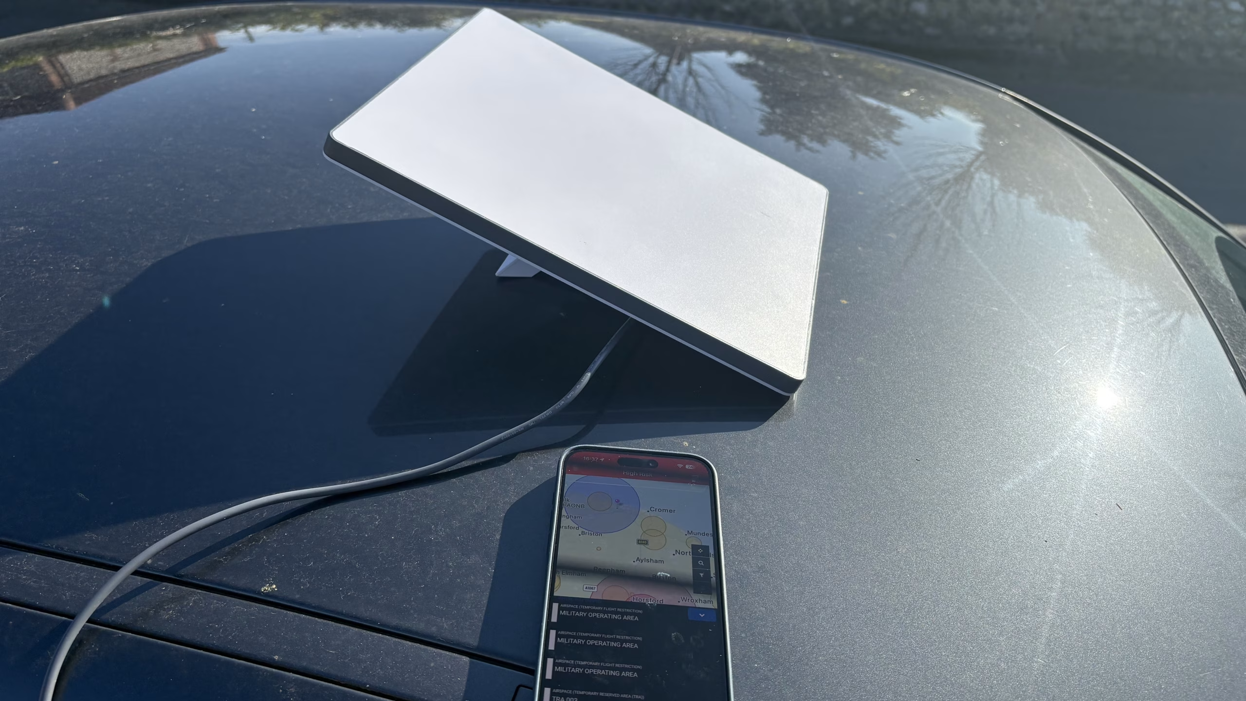
Supporting a drone survey
Drones are a great tool for surveyors, cheaper than aircraft, faster than scaffolding and they can support a whole range of operations. Drones of course don’t need internet access to work, but sometimes, for certain operations they do – this could be for sending live video or communicating with the office or checking maps for restrictions.
Starlink is a great system and is used widely however it suffers from a very real problem when transmitting video, that is the data rate fluctuates and can drop. Many people report the Starlink yo-yo effect, this occurs when your Starlink dish switches satellites. Unlike older geostationary satellites Starlink is a low earth orbit (LEO) system. A GEO satellite is just one satellite in the sky to connect to, it stays where it is and the dish is fixed to it. Starlink on the other hand is made up of over 10,000 moving satellites. The Starlink dish contains a phased array, this is the mechanism it uses to track satellites.
We are different to the little competition we have by offering a very unique solution to this very real problem of dropped data. We combine the signal from multiple Starlink satellites, effectively bonding them together. We use forward error correction to look for dropped packets and resend before they manifest as broken video.
We further split out our wifi network into virtual local area networks, each network is prioritised. An admin network may pull data from just one satellite dish, whereas a technical network will use our bonded solution of multiple dishes. Security is important and as such all data in transit is secured using AES-256 encryptyion.
If you are looking for a reliable solution to a technical problem, get in touch with us today.